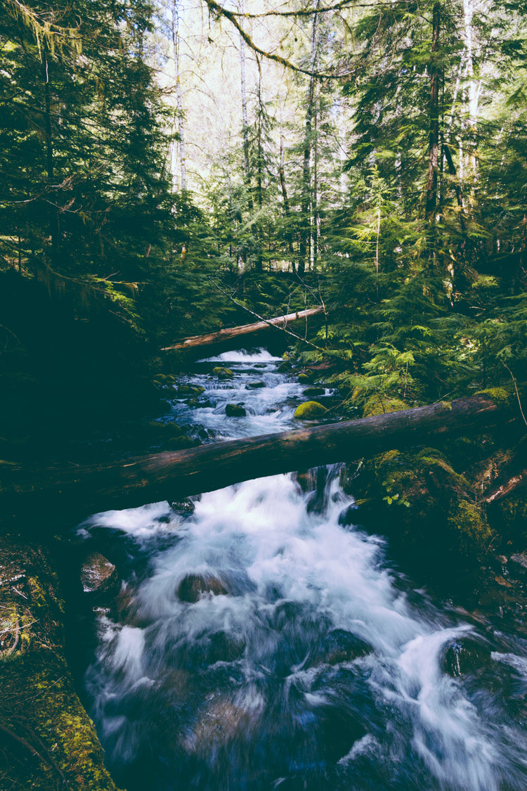
This recreation topographic map for the Prince George and Mackenzie region of Northern BC highlights all the fishing lakes and rivers, hiking and cycling trails, provincial parks, recreation sites, logging and resource roads, snowshoe and cross-country ski trails, ATV and snowmobile routes, wildlife viewing areas, paddling routes for canoers and kayakers and more.
This map bundle includes two 1:200,000 scale maps, covering nearly 41,500 km2 (16,000 mi2). No other map provides you with this much recreational and topographic detail for the Prince George & McKenzie Region.
Special features include labelled fish species and stocking information, highlighted Wildlife Management Units (WMUs) for hunters, and countless recreational Points of Interest. These maps feature our industry-leading topographic relief and shading and cover the areas around Arctic Pacific Lakes Provincial Park, Bear Lake, Carp Lake, Hixon, Mackenzie, McLeod Lake, Omineca Provincial Park, Prince George, Sugar Bowl – Grizzly Den Provincial Park, Summit Lake, Williston Lake and more!