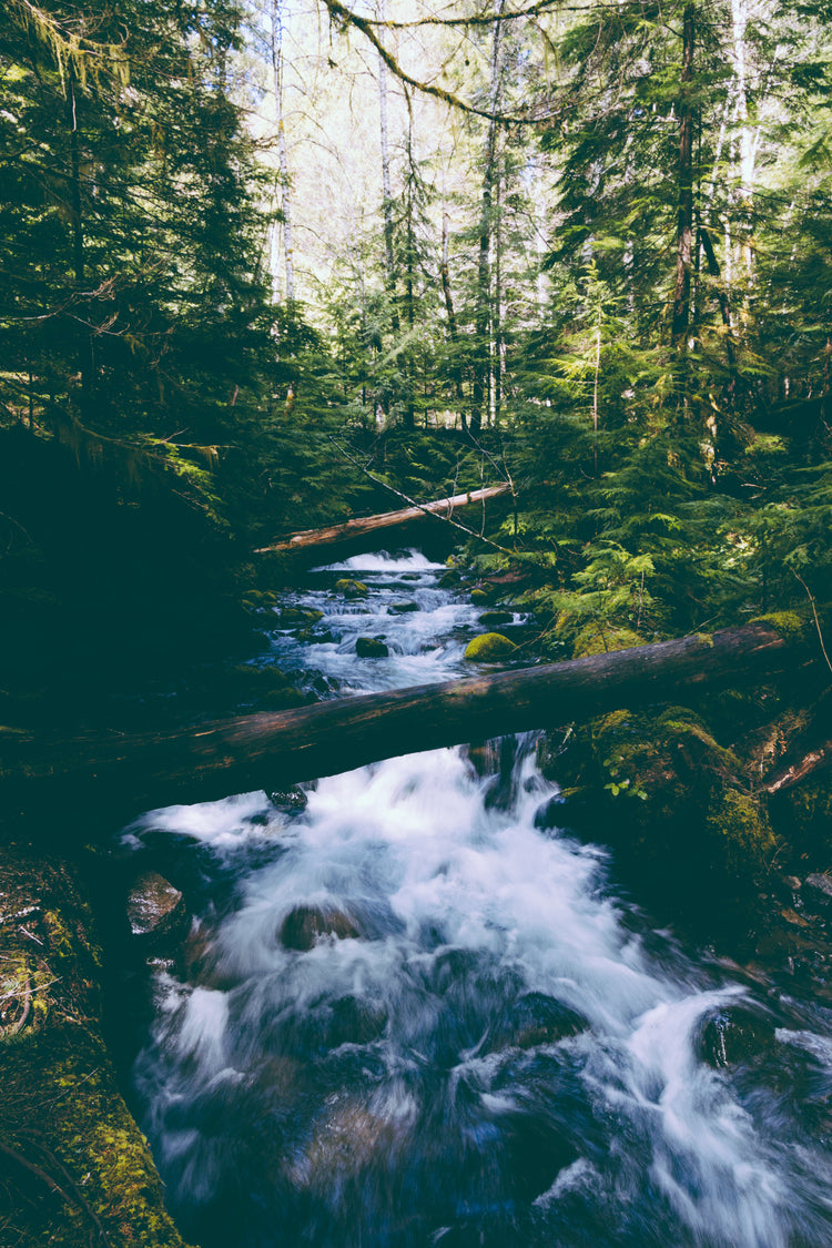
Northeastern BC is a vast and wild land of unlimited adventure opportunity and wildlife viewing. From the rushing, majestic rapids of the Liard River to the sky-scraping peaks of Northern Rocky Mountains Provincial Park, this is an area dominated by nature. For an authentic escape into the undeveloped wilderness, Northeastern BC should be at the top of the list for any adventure seeker. Whether you like to kick up some mud behind the handlebars of an ATV or keep things quiet on a backpacking journey, Northeastern BC has something special to offer to everyone. Covering the area around Fort Nelson, Fort Saint John, Tumbler Ridge and beyond, the latest edition of our Northeastern BC Waterproof Map provides unparalleled cartographic detail, comprehensive road coverage, and meticulously researched Points of Interest.
Print Features:
- Printed on durable waterproof and tear-resistant material
- Includes industry leading cartographic detail and state-of-the-art relief shading
- Countless points of interest, hiking trails, campsites, airports, paddling routes and more!
- Numerous updates and expansions from our last edition
- Easy to read, large-scale 86 x 117 cm (34 x 46.25") map derived from our Backroad Mapbooks
- Detailed index for recreation sites, trails, and provincial parks
- Seamless map coverage requires no page turning
Product Features
This tear-resistant, waterproof map of Northeastern BC is easy to use and carry on all your outdoor adventures. Our newest edition of the map includes industry-leading topographic detail, unparalleled road coverage and countless trails, rec sites, paddling routes, campgrounds, Oil and Gas sites and more. Numerous updates and expansions from our last edition make this the most up-to-date topographic map available for Northeastern BC!
- Industry-leading cartographic detail and topographic relief shading
- Comprehensive road coverage
- Thousands of kilometres of trail systems for ATVing, paddling, snowmobiling, hiking, mountain biking, cross-country skiing and snowshoeing
- Highlighted Wildlife Management Units (WMUs) for anglers and hunters
- Labeled fish species and stocking information for fishing lakes and rivers
- Hundreds of geographic features, land and water
- National, Provincial and Regional Parks and Campsites
- Labelled downhill and Nordic ski areas
- Detailed index for easy reading
- And much more!