HAIDA GWAII BC ADVENTURE MAP
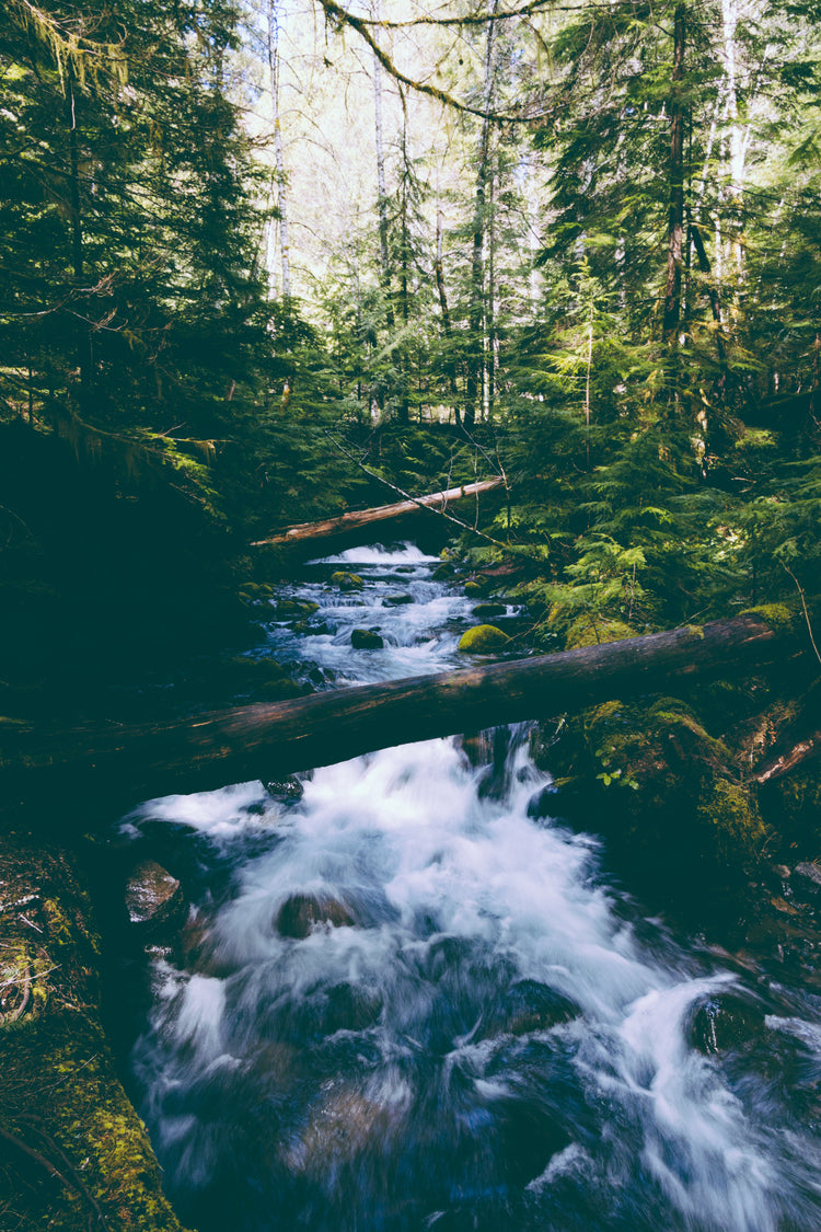
Famous for its natural beauty, Haida Gwaii is home to old growth Sitka forests, abundant wildlife and a vibrant First Nations culture that dates back thousands of years. From the windswept shores of Gwaii Haanas National Park Reserve and Haida Heritage Site to the traditional totem poles of the Village of Masset, this waterproof recreation map charts the entire archipelago including all of Graham and Moresby Islands, and provides you with the most up-to-date information for outdoor adventures such as paddling, hunting, hiking, fishing, camping and more! Additionally, this map includes Haida Toponyms so you will know the traditional names of the places you are visiting. With detailed information on parks and recreation sites, Haida culture, safety tips, useful contact information and more, our Haida Gwaii Waterproof Map provides the most comprehensive coverage available to discover this beautiful area.
Features
- Printed on durable waterproof and tear-resistant material.
- Large scale 86 x 117 cm (34 x 46.25 in) map is easy to read and derived from our Backroad Mapbooks at 1:160,000 scale
- Industry-leading cartographic detail and state-of-the-art relief shading
- Double-sided map packed with parks, recreation sites, trails, paddling routes, fishing areas and more!
- Detailed index for recreation sites, trails, and provincial parks
- UTM grids with latitude and longitude make navigating the map easy
- Seamless map coverage requires no page turning
Product Features
This tear-resistant, waterproof, large-format map of Haida Gwaii is easy to use and carry on your outdoor adventures. This map includes industry-leading topographic detail, unparalleled road coverage, countless trails, campsites and paddling routes, labelled fish species and stocked fishing lakes and rivers, hot springs and much more! Brand new to this edition, we have added an extensive trail chart for hiking and multi-use trails, added rocky ledges and reefs to the maps, and included more information on ocean fishing and fish species.
- Industry-leading cartographic detail and topographic relief shading
- Addition of trail chart for hiking and multi-use trails
- Numerous updates and expansions from our last edition make this the most up-to-date topographic map available for Haida Gwaii
- Over 5,000 kilometres (3,100 miles) of roads including highways, city roads, logging and industry roads
- Over 350 km (215 mi) of multi-use trails and over 2,000 km (1,240 mi) of paddling routes
- Ocean, fish and stream fishing information with updated fish species
- Indexed cities, geographic land and water features included in both the Haida language and English
- Trail chart with Salmon/Trout trails
- Labelled Haida Watchmen sites for Gwaii Haanas National Park Reserve
- And much more!