(Smithers to Vanderhoof)
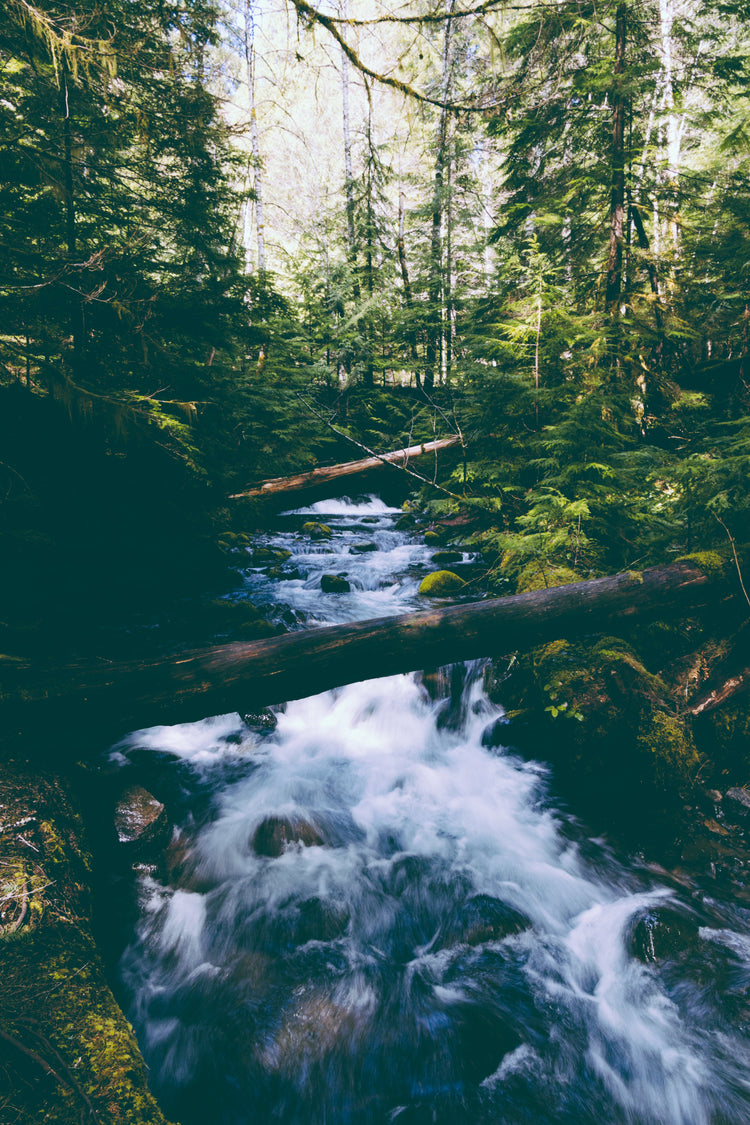
This recreation topographic map for the Bulkley-Nechako or Smithers to Vanderhoof region of Northern BC highlights all the recreation sites, campgrounds, paddling routes for canoers and kayakers, fishing lakes and rivers, logging and resource roads, hiking and mountain biking trails, backcountry campsites, snowshoe and cross-country ski areas, motorized trails for ATVing and snowmobiling, wildlife viewing areas and more.
This map bundle includes two 1:200,000 scale maps, covering nearly 43,500 km2 (16,800 mi2). No other map provides you with this much recreational and topographic detail for the Bulkley-Nechako region.
Special features include labelled Wildlife Management Units (WMUs) for hunters, and countless recreational Points of Interest. These maps feature our industry-leading topographic relief and shading and cover the areas around Babine Mountains Provincial Park, Babine Lake, Bulkley River, Burns Lake, Finger Tatuk Provincial Park, Fort Fraser, Fort St. James, Francois Lake, Fraser Lake, Granisle, Houston, Moricetown, Smithers, Stuart Lake, Telkwa, Topley, Vanderhoof and more!